Malawi, a landlocked country in southeastern Africa, is defined by its topography of highlands split by the Great Rift Valley and enormous Lake Malawi. The lake’s southern end falls within Lake Malawi National Park – sheltering diverse wildlife from colorful fish to baboons – and its clear waters are popular for diving and boating. Peninsular Cape Maclear is known for its beach resorts.

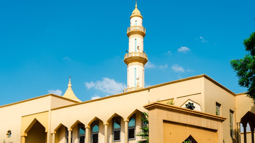
License ID: 590596250 Yellow mosque with minaret tower on a summer day under blue sky in the capitol city Lilongwe, Malawi.
Member since: 2015
Capital
Lilongwe
Population (2015)
18,628,749
GNI Per Capita (2016)
$243.1
Emissions Per Capita (2014)
0.146 tons
Website Links
National Focal Points
National Climate Vulnerability Level and actions
Sea Level Rise
3 mm/yr
![]() 0.23%
0.23%
Sea Level Rise
3 mm/yr
![]() 0.23%
0.23%
Sea Level Rise
3 mm/yr
![]() 0.23%
0.23%
Adaptation: Priority Actions:
1) Increase irrigation at smallholder level;
2) Implement integrated catchment conservation and management programme;
3) Build capacity to diagnose, prevent and control climate-sensitive diseases such as malaria, diarrhoeal diseases and malnutrition;
4) Promote use of biomass briquettes as substitute for firewood and charcoal + 40 other highlighted priority actions.
Reduce GHG emissions to around 0.7 to 0.8 t CO2e per capita (in relation to GHG emissions BAU levels of around 1.5 t CO2e per capita) by 2030 conditional to external support in sectors of energy supply, energy utilization, industrial processes, agriculture, forestry and land use, waste.
Adaptation: Priority Actions:
1) Increase irrigation at smallholder level;
2) Implement integrated catchment conservation and management programme;
3) Build capacity to diagnose, prevent and control climate-sensitive diseases such as malaria, diarrhoeal diseases and malnutrition;
4) Promote use of biomass briquettes as substitute for firewood and charcoal + 40 other highlighted priority actions.


